Always check the most recent forecast to ensure you have the most up-to-date and accurate information before heading out on the slopes.
As we move into the winter we have seen some decent early-season snowfall through late October and early November before it dried up for a while. A warm spell in mid-November formed a widespread rain crust, reaching about 2,100–2,200 metres. That crust is now buried fairly deep, and it seems like most of what we’re dealing with now are various storm interfaces, with the occasional surface hoar layer lingering in more isolated treeline spots.
With that broader context in mind, the immediate question is how the recent storms are building on top of this structure, and what that means for travel and decision-making moving forward.
Looking ahead, a series of warm atmospheric river events loaded with subtropical moisture and strong winds is forecast to impact the Pacific Northwest and southern B.C. through approximately mid-December. While this should bring plenty of precipitation, the warmer temperatures and winds are likely to continue complicating the snowpack, especially at lower and mid elevations.
Beyond Dec. 15, the longer-term outlook seems somewhat more promising, with signs that cooler air may eventually return to the region. However, the current spell of warmth may take some time to fully dissipate.

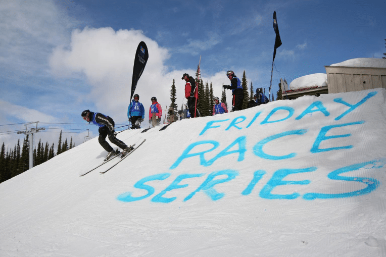
An avalanche course behind Sun Peaks on Sunday, Dec. 14 helped clarify some of this. Snow depths in that area averaged around 85 centimetres, with a fairly simple structure of two-to-three layers. One notable layer was a supportive crust at a depth of about 45–50 centimetres. However, what stood out more than the layering was the temperature. Even on shaded aspects, it was around 4 C at 2,050 metres. We encountered upside-down powder — not the best condition for enjoyable riding.
Conditions are clearly in transition and it feels like winter is finally beginning to lean in. Most forecast areas expect a steady stream of precipitation through the weekend and into the coming week, which means the snowpack we’ve been discussing is about to be tested. As snow continues to accumulate, it’s probably wise to take a step back and opt for more conservative terrain choices while things adjust.
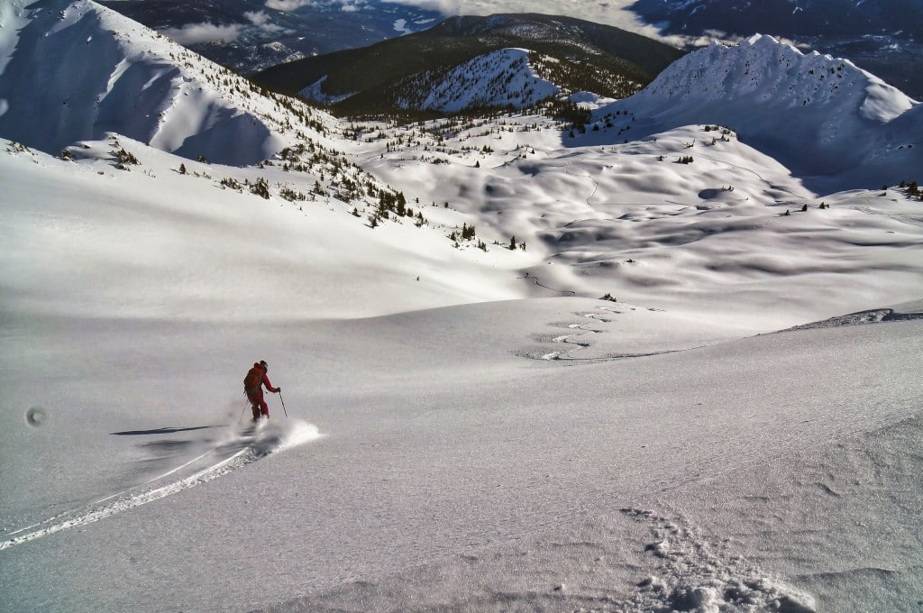
Although coverage at lower elevations remains limited, riding conditions higher up have been quite good thus far, with relatively manageable avalanche risks in many areas. However, these conditions are evolving, and the approach that has worked so far might not be effective as the snowpack deepens. Clear, cold periods in mid-to-late November allowed weak layers to develop at the surface, including thin sun crusts, surface hoar and facets reported across much of western Canada. In many regions, a November rain crust was later buried and has since developed facets above it. That layer is more likely to cause problems when rain falls on an already-supportive snow surface, which is more common in lower-elevation alpine terrain. For now, it seems that the more recent layers higher in the snowpack are the main concern.
Recently, lighter snowfall has slowly built up on these weak layers. With more snow expected—and possibly intensifying—it wouldn’t take much to tip the balance towards more reactive slab conditions. As these weak layers become more deeply buried, the risk of wider propagation and remote triggering grows.
In the near term, it’s wise to take a cautious approach. For now, keep things small and low risk, while closely monitoring snow conditions throughout the day. Below the treeline, coverage remains sparse in many areas, with rocks, stumps and open creeks just beneath the surface. Fresh snow will make spotting these hazards more difficult, so it’s important to plan your exits and travel routes as carefully as the descent itself.Always check your favourite weather apps and online resources — sites like Windy.com and YR.no are good places to start — and make a habit of reviewing Avalanche Canada before heading out. If you’re planning to visit a backcountry lodge or hut and will be travelling without a guide, it’s worth taking the time to read through Recommendations for Self-Guided Groups. The purpose of that document is simple: to offer some common-sense practices that help keep people safe, without taking away from the stoke we’re all chasing when we head into the mountains. Having fun and being safe aren’t mutually exclusive.
What did you think of this story?
Sun Peaks Independent News is your essential source for community news in Sun Peaks. Your feedback after we publish a story helps ensure we're always improving our reporting to better serve you.