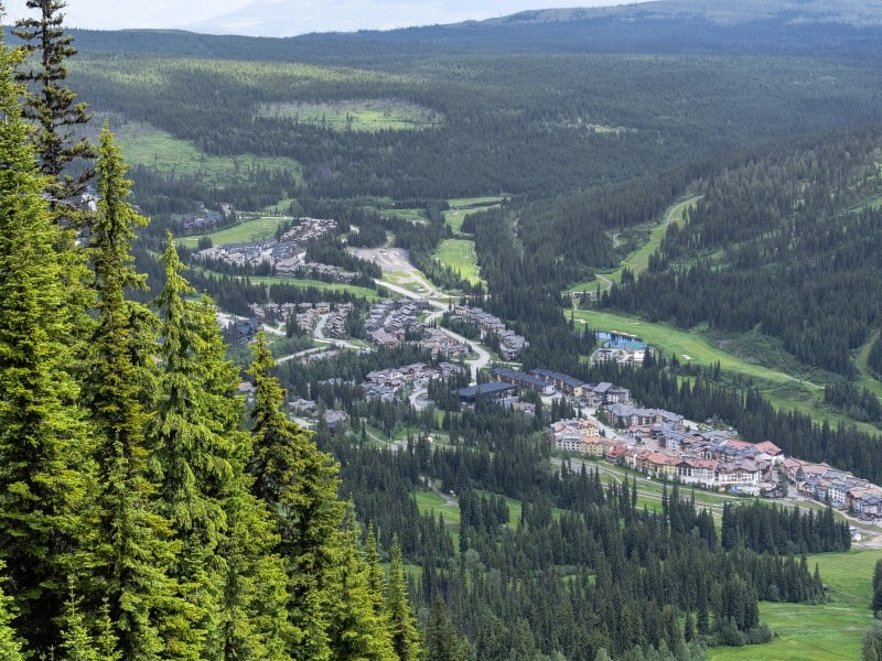
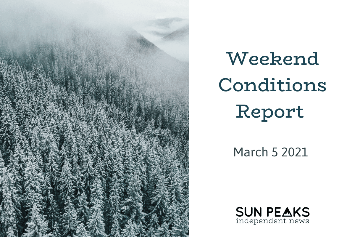
Every weekend SPIN will compile the current avalanche forecasts and weather for the Interior. As a reminder, we’ve pulled this information together for a convenient overview to help make your initial plans and recommend reading the full avalanche forecast, and checking and assessing conditions on your own specific to your unique location. Tune in at the end of each week to get the forecast before your weekend
The first significant warming of the season is slated for early March and is the reason for a reinstated Special Public Avalanche Warning (SPAW) for the Cariboos, North Rockies, the Rocky Mountain National Parks and several Alberta avalanche regions.
To read more about the specifics of the SPAW, click here.
Weather forecast
The brunt of the warming will dissipate this evening and freezing levels that were at 2,000m in the Interior and Rocky Mountain ranges will lower as a low pressure system forms over the Northern Rockies and brings a weak cold front that will move over the Interior ranges bringing, you guessed it, colder temps as well as 5 to 10cm of snow for Saturday.
The northern part of the South Coast Inland and the other coastal forecasting regions will receive the focus of the precipitation and wind tonight as a low system tracks north along the coast dumping up to 40cm in the Sea to Sky and winds up to 80km/h.

In the Interior, overnight Saturday freezing levels will rise and fall and a low pressure system will deliver periods of snow to the coastal regions as well as Cariboos and Columbias on Sunday.
Clear skies take over on Monday as a ridge of high pressure builds.
Sun Peaks Resort is forecasting a trace to 2cm overnight tonight with south winds gusting to 35km/h above treeline.
Saturday will start with some clouds followed by clearing periods in the afternoon. Winds will come from the south at 15km/h with a high at -1C. Sunday things begin to cool off with a low of -6C and a chance of flurries.
Avalanche forecast
Sustained warming today will give rise to avalanche danger hence the SPAW for the Cariboos as well as high danger ratings for the South Coast Inland today.
Tomorrow the South Coast Inland rating will lower slightly to considerable at all elevations and aspects for both Saturday and Sunday with three avalanches problems for the region. Storm slabs and wind slab avalanche problems are forecasted but will likely be concentrated in the north given the precipitation amounts and wind forecasted for that area today.
For the Coquihalla area the main problem will likely be wet-loose avalanches at all elevations and aspects which are likely to produce up to size two avalanches. Be sure to watch for warming when travelling in the Coquihalla backcountry this weekend. The Mountain Information Network (MIN) has reports of glide slab avalanches up to size 2.5 in the Coquihalla area.
In the Cariboos where the SPAW is in effect, avalanche danger is rated at considerable in the alpine and moderate treeline and below for both Saturday and Sunday. The below treeline rating drops to low on Sunday.
A persistent slab problem at all elevations and aspects is possible and could release size 2 to 3 avalanches. Weak layers are down 50 to 150cm in the snowpack. This problem plus warming temps calls for conservative terrain choices this weekend in the Cariboos.Wind slabs also exist in this region treeline and above on north aspects but could also be found on east or west aspects. Wind slab avalanches up to size two are likely.
In the North Columbia region, the avalanche danger is forecasted as moderate treeline and above and low below treeline for both Saturday and Sunday. A wind slab problem treeline and above on northwest, north, northeast and east aspects with a possible change of avalanches up to size two is predicted. A persistent slab problem exists at all elevations and aspects, it’s unlikely but avalanches up to size three could happen because of warming temperatures. The persistent slab problem has two layers of concern down 60 to 120cm in the snowpack. Be cautions on steep and wind loaded terrain in this region.
In the South Columbia the danger rating is currently forecasted as considerable in the alpine, moderate at treeline and low below treeline for Saturday. Sunday, the rating is moderate treeline and above and low below treeline.Be cautious on south facing slopes this weekend as a wet-loose avalanche problem is the main concern on those aspects and at all elevations. Wet-loose avalanches will be possible and could go up to size two. Wind slabs are also forecasted as a problem to be aware of treeline and above on all aspects with a possible chance of up to size two avalanches. Steep open terrain could be where wind slabs are found. Again, just like in the North Columbia region, there is a persistent slab problem but it’s also unlikely and problem layers are also down 60 to 120cm which have been the cause of sporadic avalanche activity over the past weeks.
For travel and terrain advice as well as more details on changing weather and avalanche forecasts visit www.avalanche.ca.
What did you think of this story?
Your feedback after we publish a story helps ensure we're always improving our reporting to better serve you.