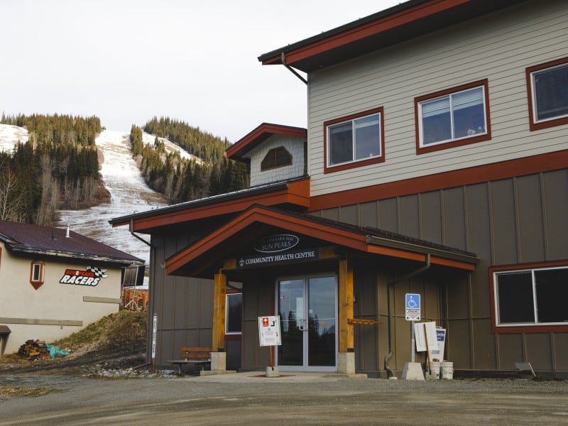
Photo: TRU Marketing and Communications
Cartography isn’t the same art it once was.
Students in Thompson Rivers University’s Mountain Studies course are tackling mapping à la 21st century with their interactive “deep map” website of Sun Peaks.
“We’re trying to convey that intangible sense of community spirit there is at Sun Peaks,” says Kathleen Scherf, professor at TRU. “I started getting (the students) thinking about how we can map over time, over botany, over biology, over personal narrative, over animals, over built environments. Is it possible for us to map the spirit of a place?”
That spirit isn’t, and can’t be, represented from conventional two dimensional mapping techniques. Flat maps try to convey three dimensions by adding contour lines, and although many online maps claim “interactivity” they really only allow the viewer to scroll in or out, left or right, up or down.
“If you’re someone from away and you’re checking out which Interior B.C. ski resort you should go to there’s not a lot of differentiation (from the maps),” explains Scherf. “So I started thinking and researching this concept called deep map.”

The Sun Peaks deep map overlays six themes on a map of Sun Peaks through photos, video, audio and text boxes. The themes explore nature, the village, family, summer, history and mountain infrastructure and operations (which includes amongst other aspects lifts, grooming, and the Sun Peaks Alpine Club). It’s all done from the research perspective of the TRU students so Dan Erickson, the website’s technical designer and founder of Truvian Labs, senses the site will have an authentic feel.
“The most interest is going to happen when people interact with the site and see real content and real people,” says Erickson. “The cool thing here is that it’s almost like a third party is generating that content; it doesn’t have that polished promotional slant to it, and I think for that reason it might end up being a little bit more engaging.”
Elyssa Pompa, a visiting student from York University in Toronto, is one of the contributors to the project.
“I interviewed ranchers and growers from the Sun Peaks/Whitecroft region,” she explains. “The participants were so interesting and open to share their stories! I suppose coming from a large city their openness was a nice surprise for me. Even though my topic focused on the natural world, the people and their personal stories is what I’ll remember.”
The website should be running by the end of May 2013, and aims to give people another way to explore and experience the spirit and substance of Sun Peaks. It shows not only where a place is, but what it is.
“Everything’s geolocated in the context of the map of Sun Peaks so people wandering around the village can look at things close to where they are,” explains Erickson. “The goal here is that when someone’s riding up the chair, they have their smart phone in their hand, they look at the things that are close to them . . . and that pertinent information is right there for them to see.”
Check in at sunpeaksdeepmap.ca to take a look.
What did you think of this story?
Your feedback after we publish a story helps ensure we're always improving our reporting to better serve you.